|
Mise à jour le 28 novembre 2023 |
|
||
| Accueil | Randonnée | Recherche | |
|
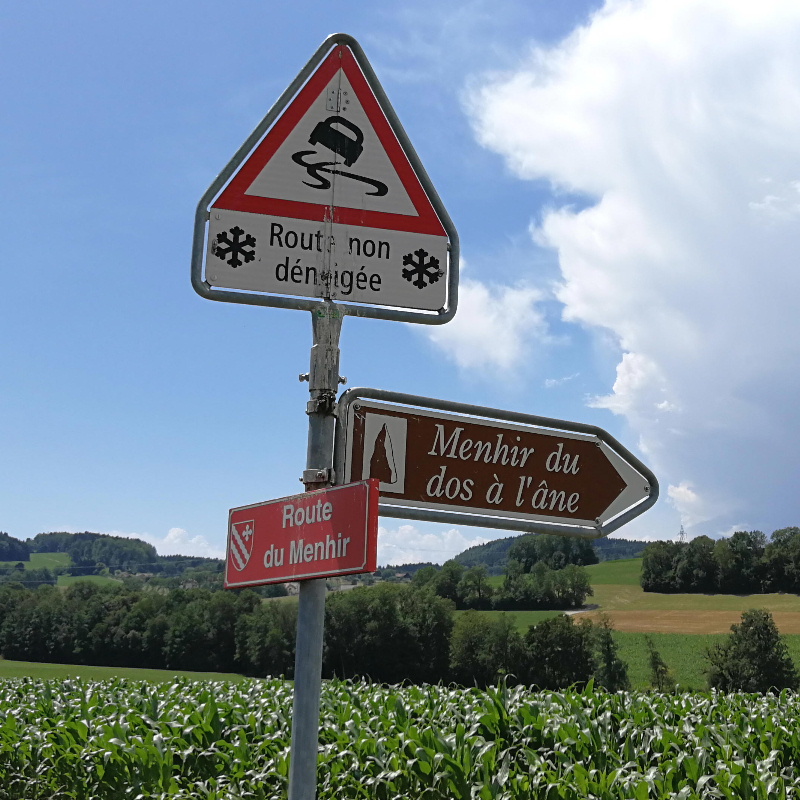
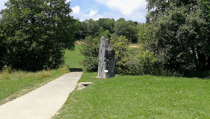
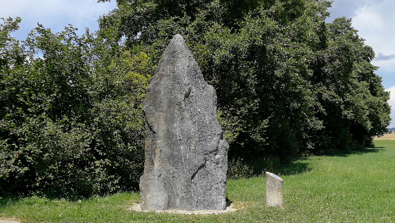
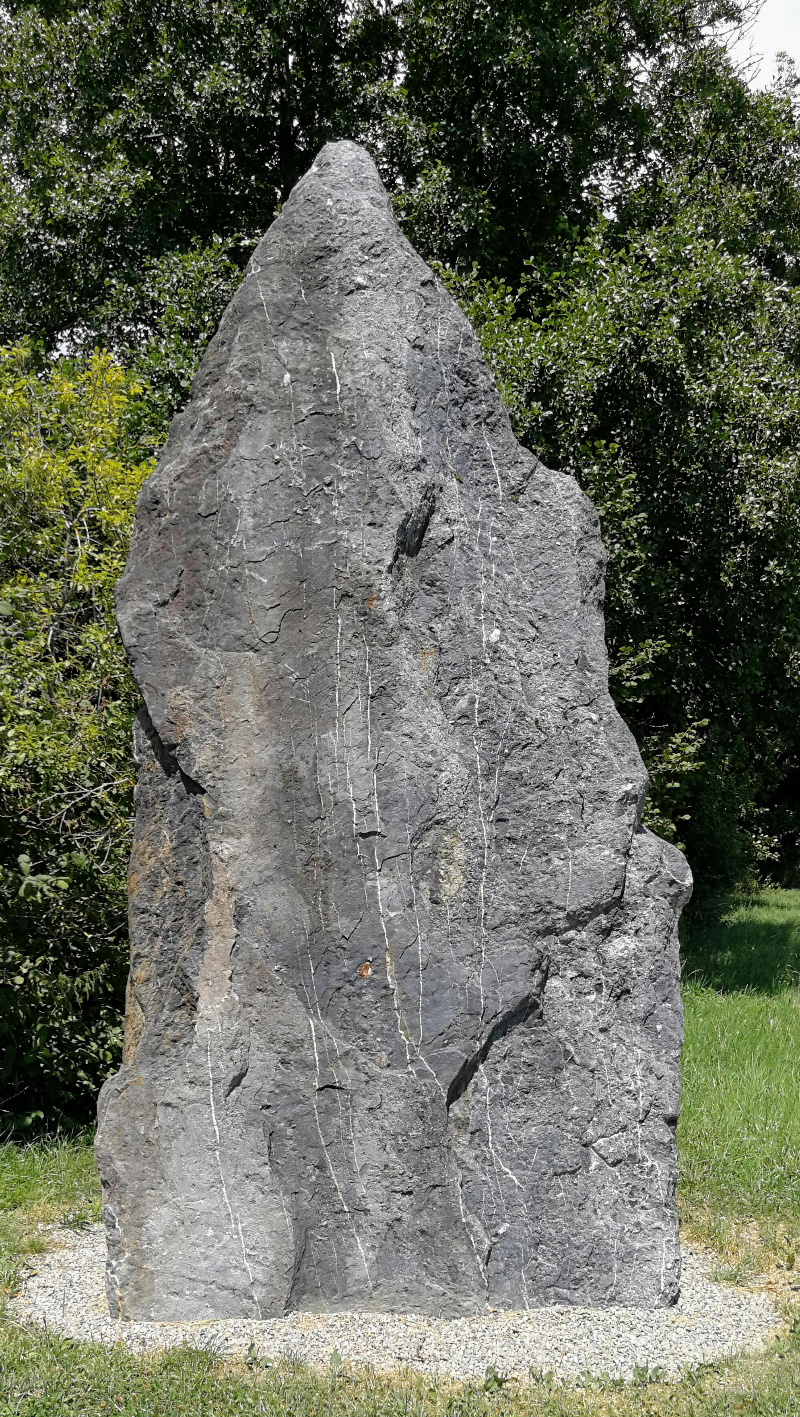
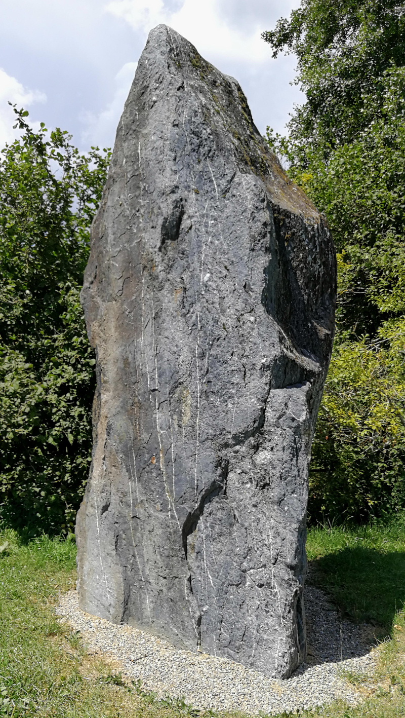
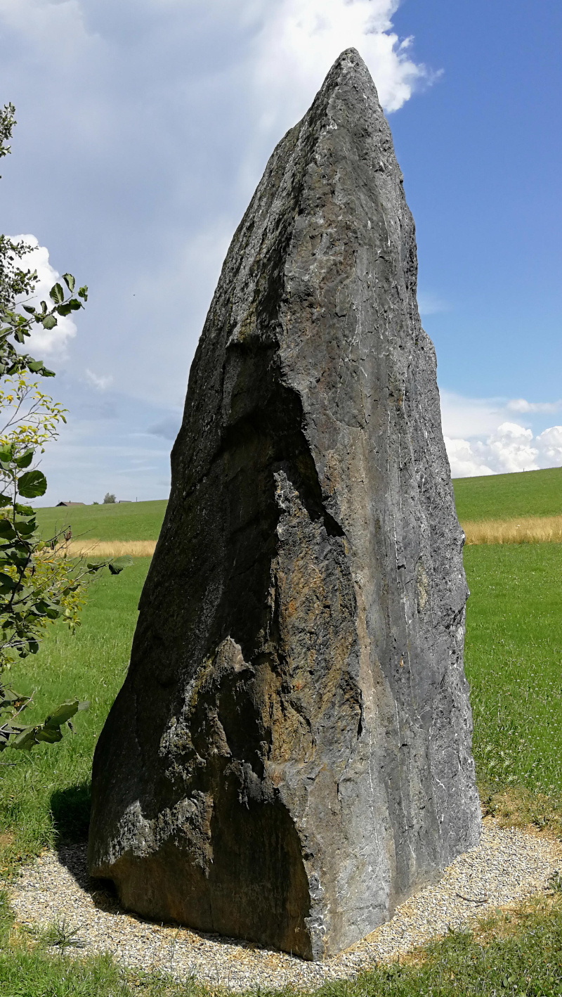
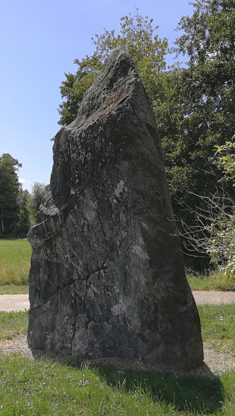
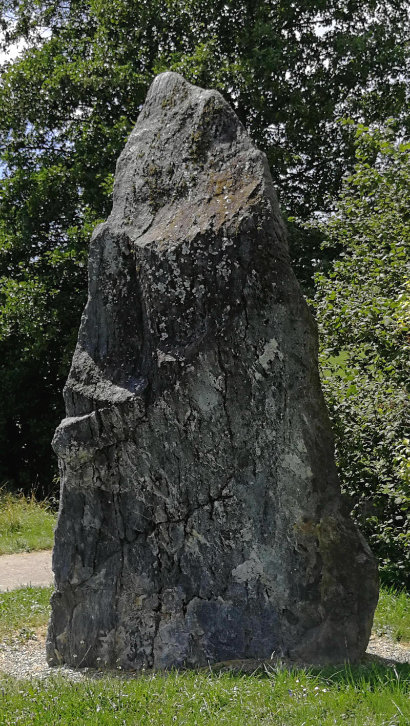
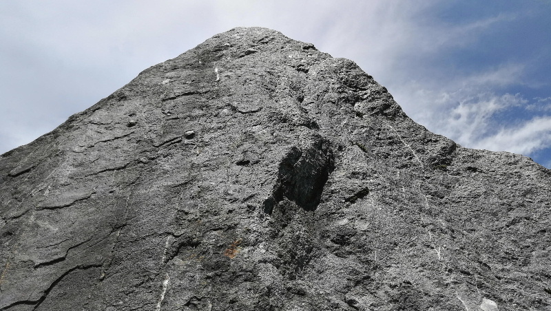
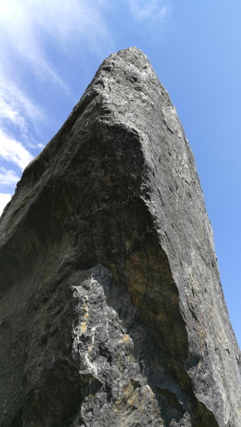
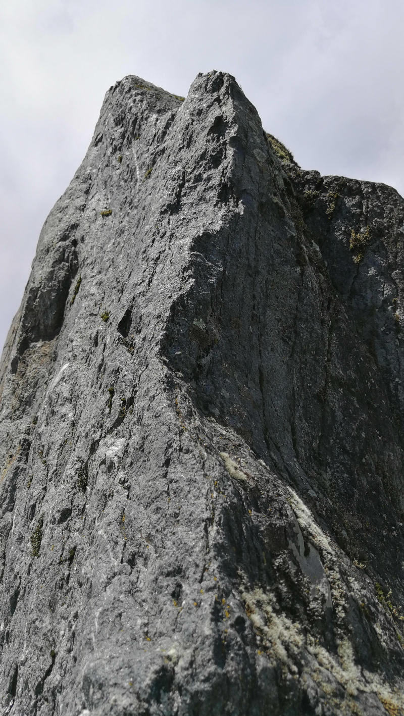
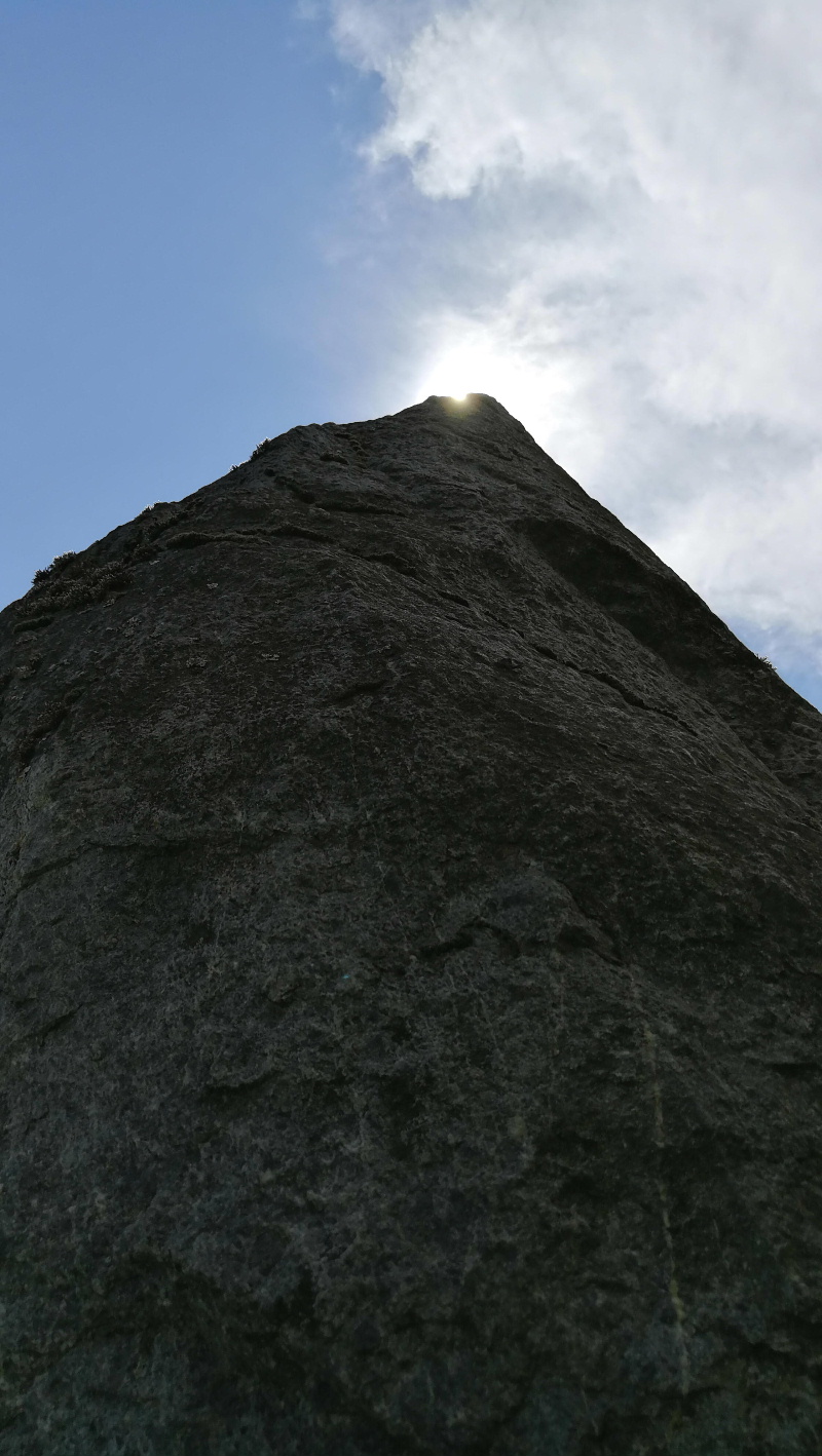
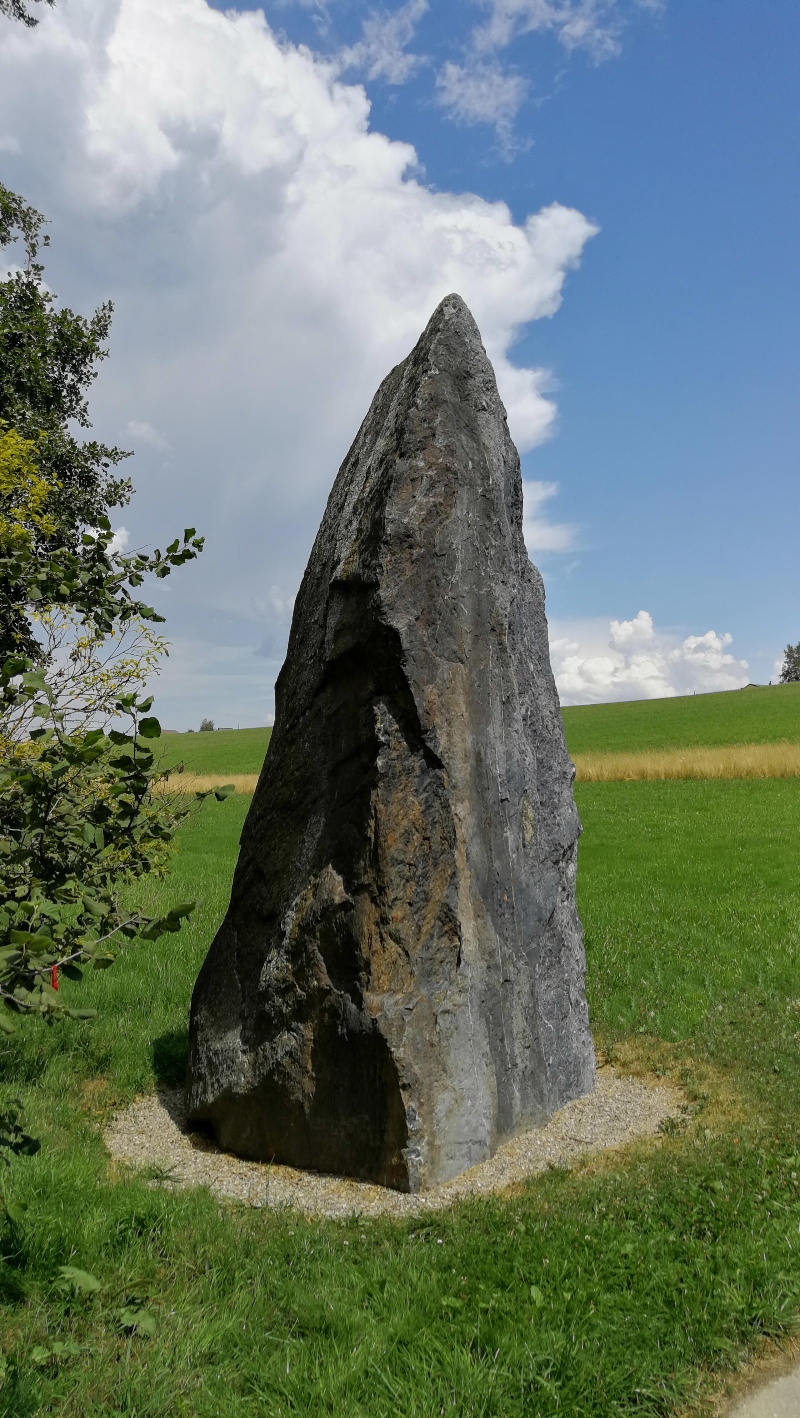
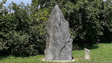
Menhir d'Essertes
- Auboranges |
|||
| Commune | Essertes - Auboranges |
 |
|
| Parking | www.google.ch/maps | ||
| 46.575391 6.794773 | |||
| 46°34'31.3"N 6°47'41.4"E | |||
| Position | http://map.geo.admin.ch | ||
| 2'550'660 1'158'439 | |||
| 698 m | |||
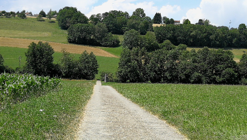
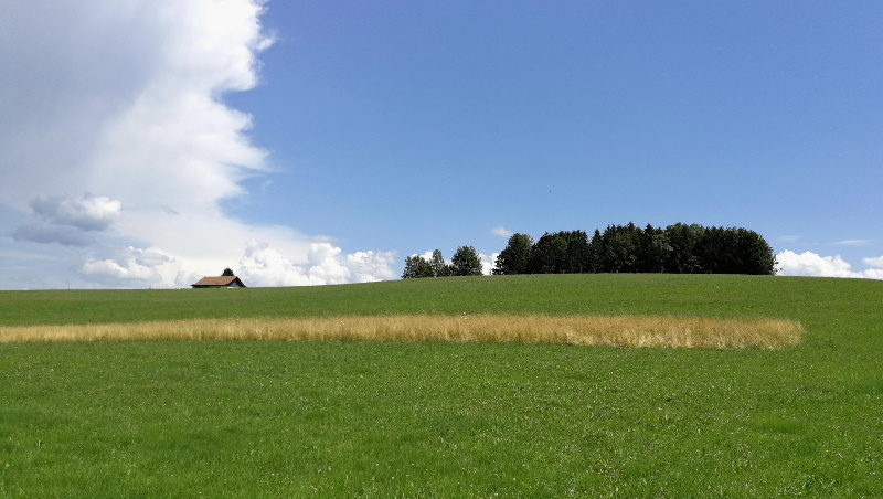
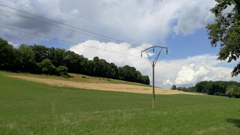
| Emplacement | En bordure de champ | ||
| www.ssdi.ch - 1078.01 | Wikipedia | ||
| www.romontregion.ch | www.archeoplus.ch | ||
| Menhir visité le dimanche 15 juillet 2018 | |||