|
Mise à jour le lundi 18 septembre 2017 |
|
||
| Accueil | Randonnée | Recherche | |
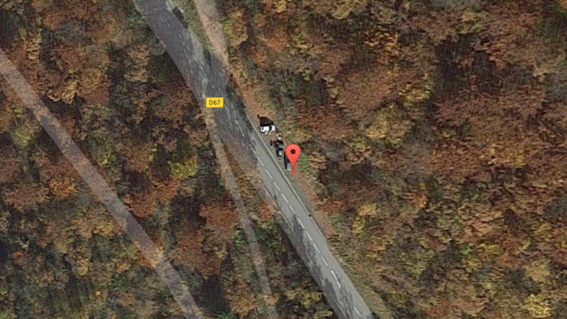
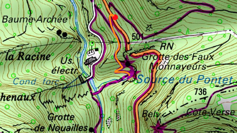
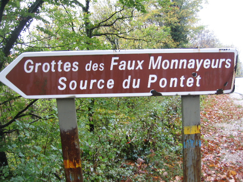
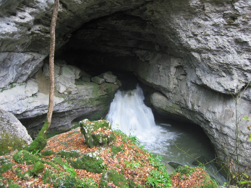
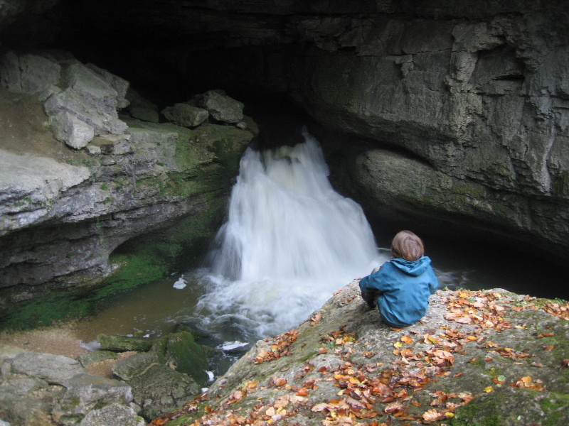
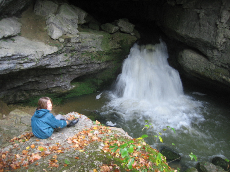
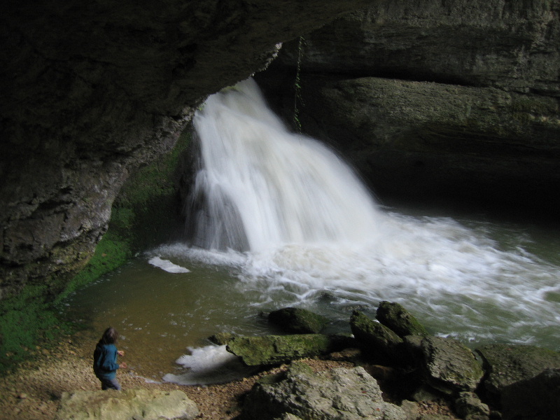
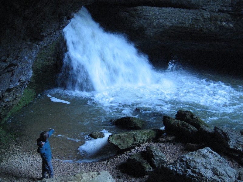
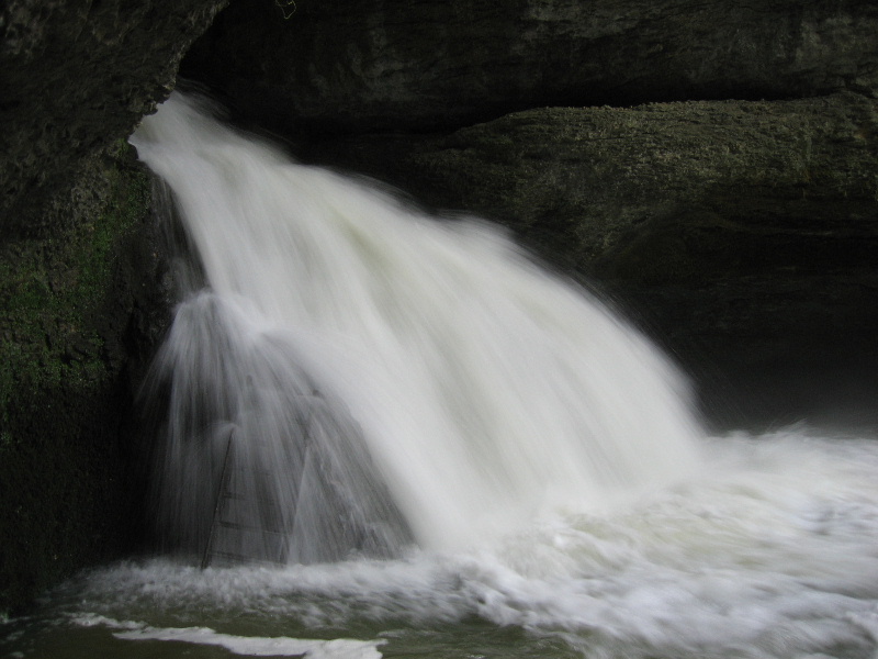
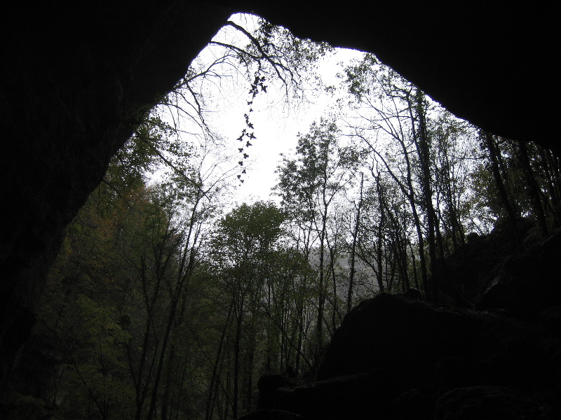
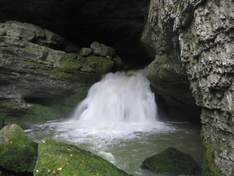
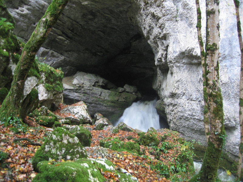
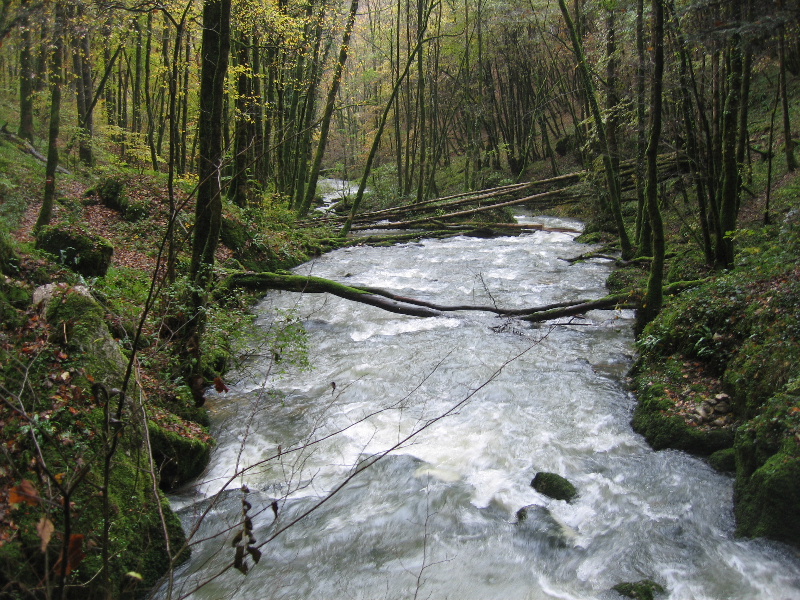
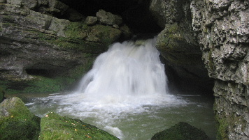
| Source du Pontet | |||
| Station / village | Mouthier-Haute-Pierre |
 |
|
| Parking | |||
| Carte interactive | https://opentopomap.org | ||
| Position | 47.028623 , 6.288381 | ||
| Inventaire | |||
| Dénivellation | |||
| Développement | |||
| Cotation | Visitable par tous | ||
| Source visitée le mercredi 22 octobre 2008 | |||