|
Mise à jour le mardi 5 février 2019 |
|
||
| Accueil | Via ferrata | Recherche | |
|
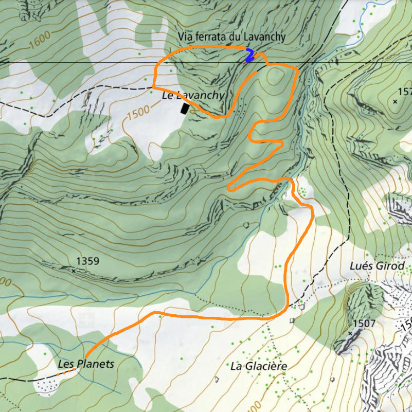
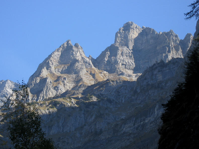
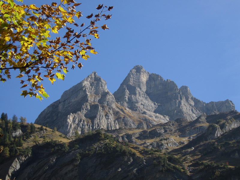
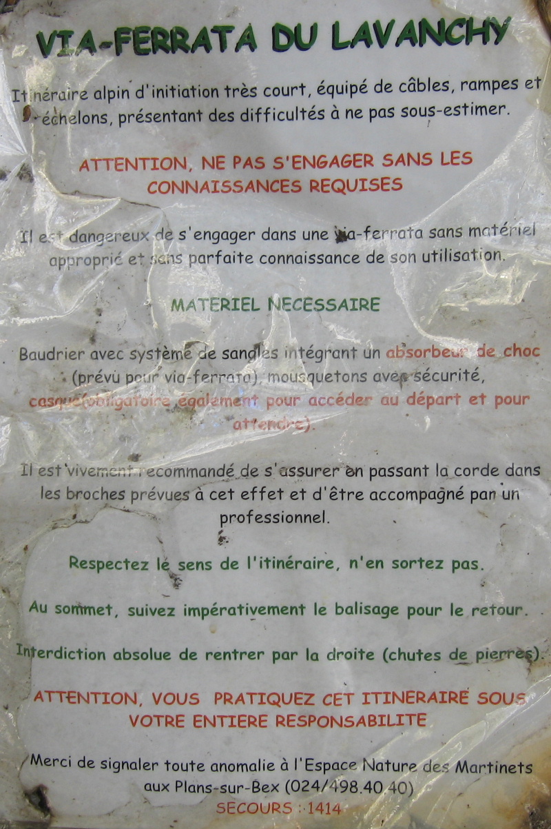
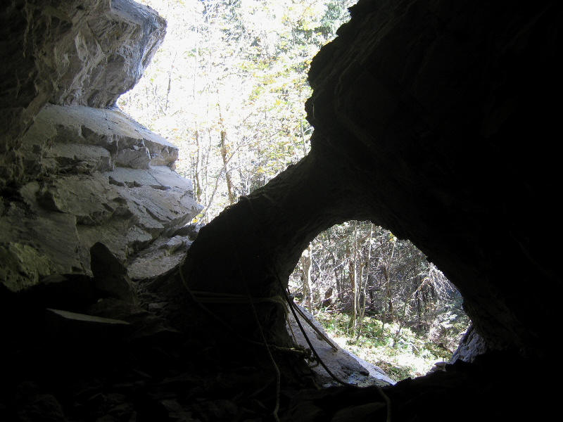
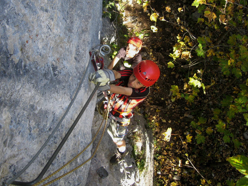
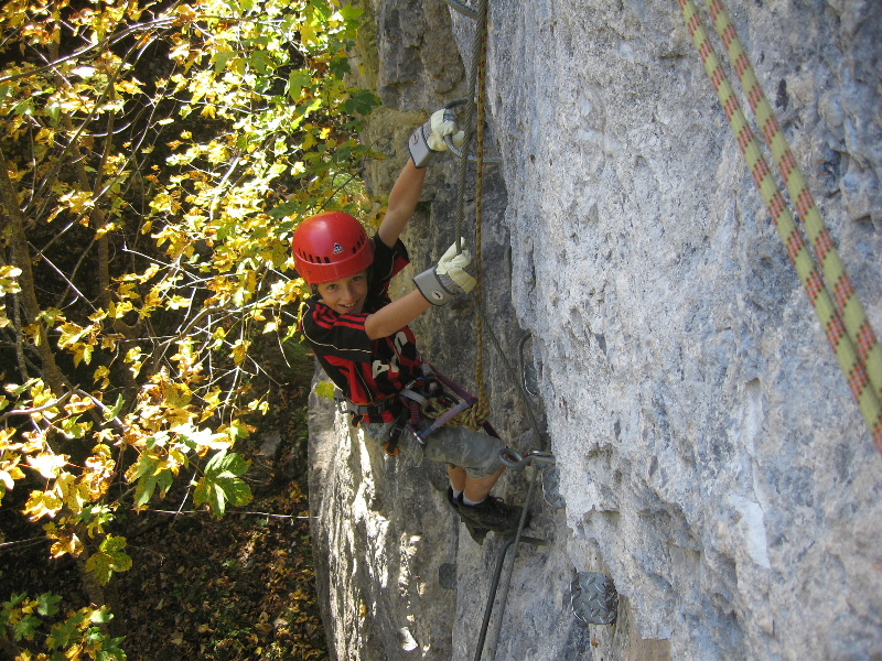
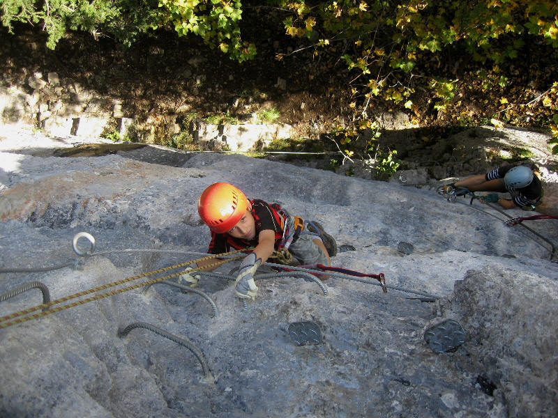
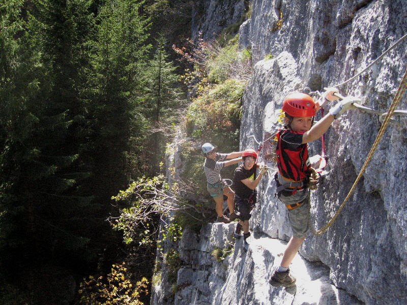
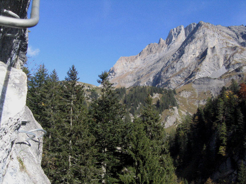
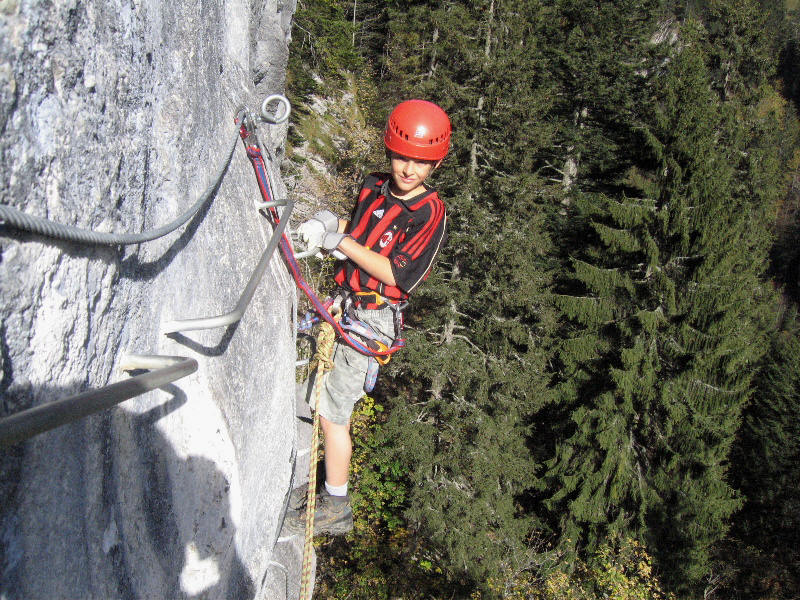
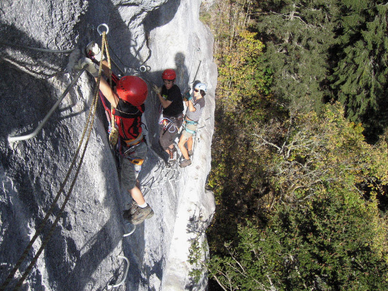
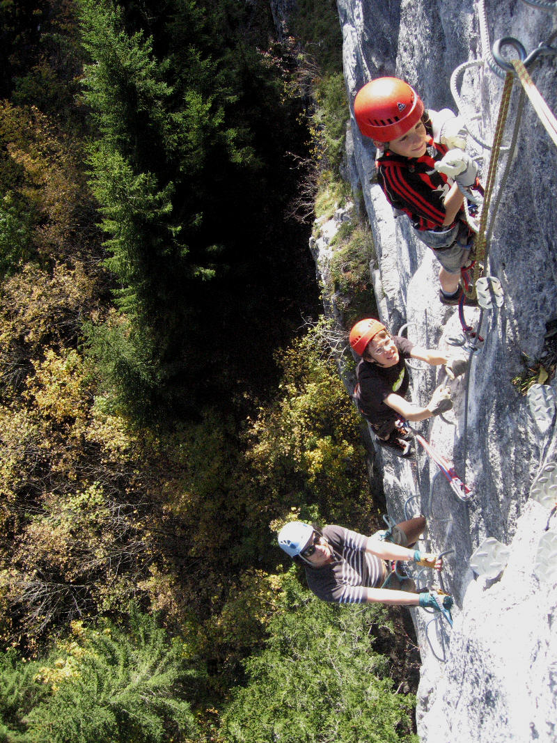
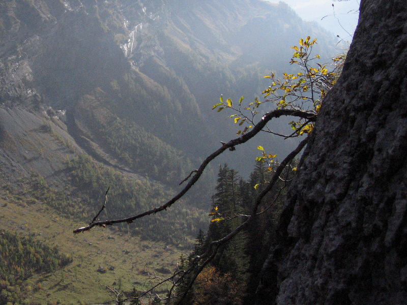
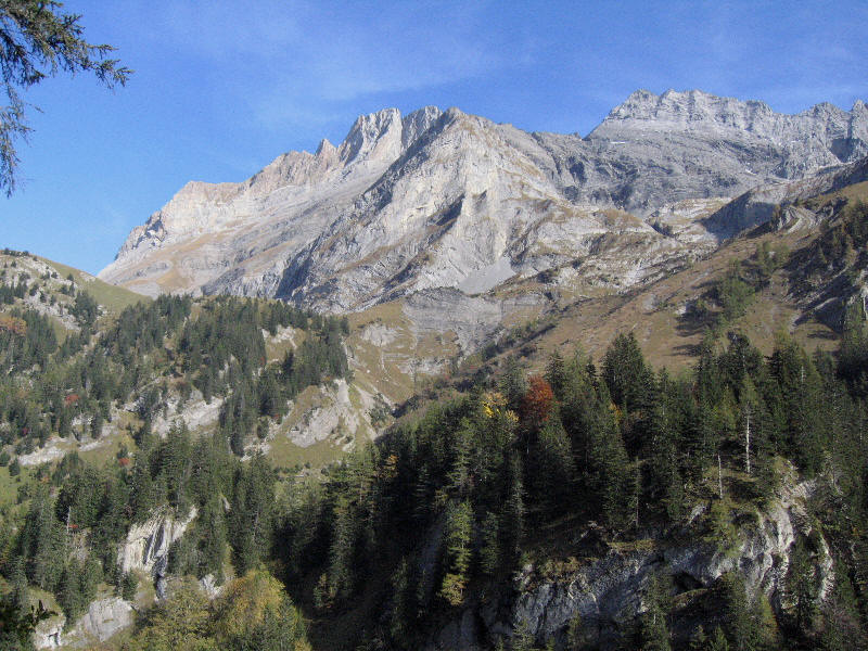
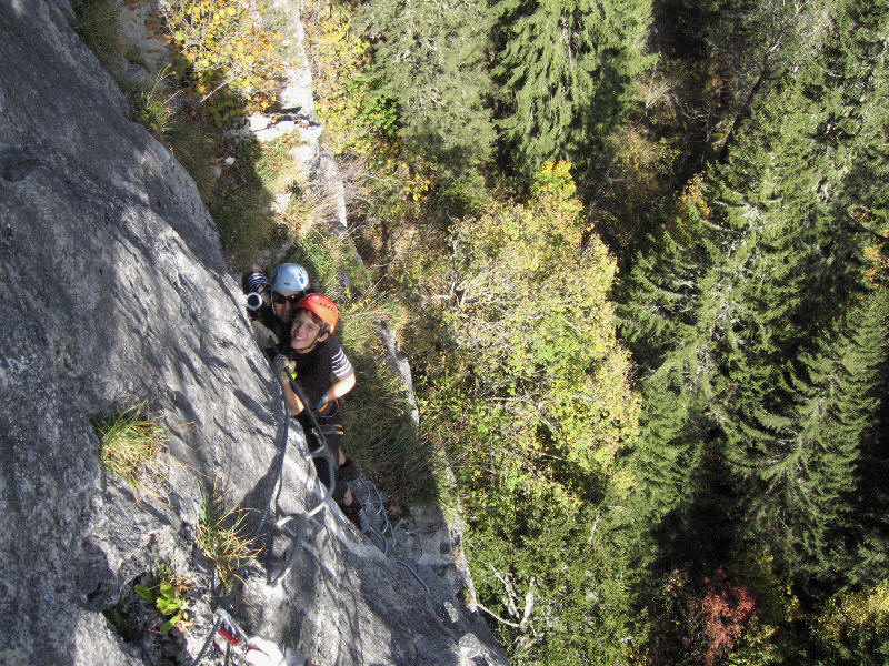
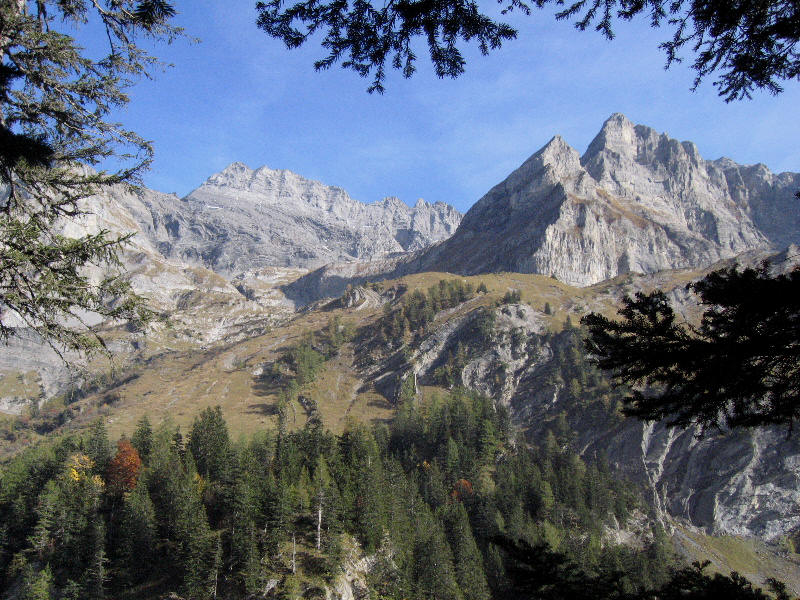
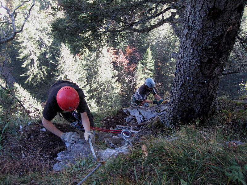
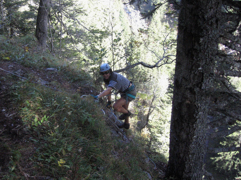
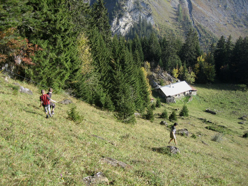
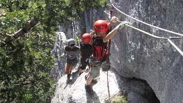
Via ferrata du Lavanchy |
|||
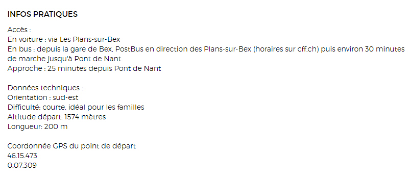
| Station / village | Les Plans sur Bex |
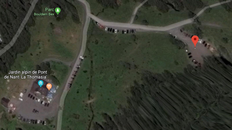
|
|
| Parking | |||
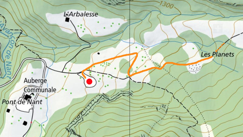
| Carte interactive | http://map.geo.admin.ch | ||
| Carte de l'itinéraire | http://map.geo.admin.ch | ||
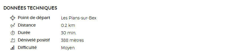
| Longueur du câble | ~ 200 m | ||
| Dénivellation | ~ 150 m | ||
| Cotation | K3 | ||
| Approche | A pied | ||
| Topo officiel | https://sites.google.com | ||
| Via parcourue le lundi 8 octobre 2007 | |||
|
|
|
|
![]() ![]() |
|
|
|
|
|
|
![]() |
|
|
|
|
|
|
![]() |
|
|
|
|
|
|
![]() |
|
|
|
|
|
|
|
|
|
|
|
|
|
|
|
|
|
|
|
|
|
|
|
|
|
|
|
|
|
|
|
|
|
|
|
|
|
|
|
|
|
|
|
|
|
|
|
|
|
|
|
|
|
|
|
|
|
|
|
|
|
|
|
|
|
|
|
|
|
|
|
|
|
|
|
|
|
|
|
|
|
|
|
|
|
|
|
|
|
|
|
|
|
|
|
|
|
|
|
|
|
|
|
|
|
|
|
|
|
|
|
|
|
|
|
|
|
|
|
|
|
|
|
|
|
|
|
|
|
|
|
|
|
|
|
|
|
|
|
|
|
|
|
|
|
|
|
|
|
|
|
|
|
|
|
|
|
|
|
|
|
|
|
|
|
|
|
|
|
|
|
|
|
|
|
|
|
|
|
|
|
|
|
|
|
|
|
|
|
|
|
|
|
|
|
|
|
|
|
|
|
|
|
|
|
|
|
|
|
|
|
|
|
|
|
|
|
|
|
|
|
|
|
|
|
|
|
|
|
|
|
|
|
|
|
|
|
|
|
|
|
|
|
|
|
|
|
|
|
|
|
|
|
|
|
|
|
|
|
|
|
|
|
|
|
|
|
|
|
|
|
|
|
|
|
|
|
|
|
|
|
|
|
|
|
|
|
|
|
|
|
|
|
|
|
|
|
|
|
|
|
|
|
|
|
|
|
| Accueil | Via ferrata | Recherche | |
|
Auteur: Alain Visinand |
|||
|
Via parcourue le lundi 8 octobre 2007, avec Dominique, Antoine et Yann |
|
|
|