|
Mise à jour le dimanche 30 septembre 2018 |
|
||
| Accueil | Randonnée | Recherche | |
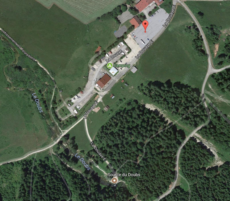
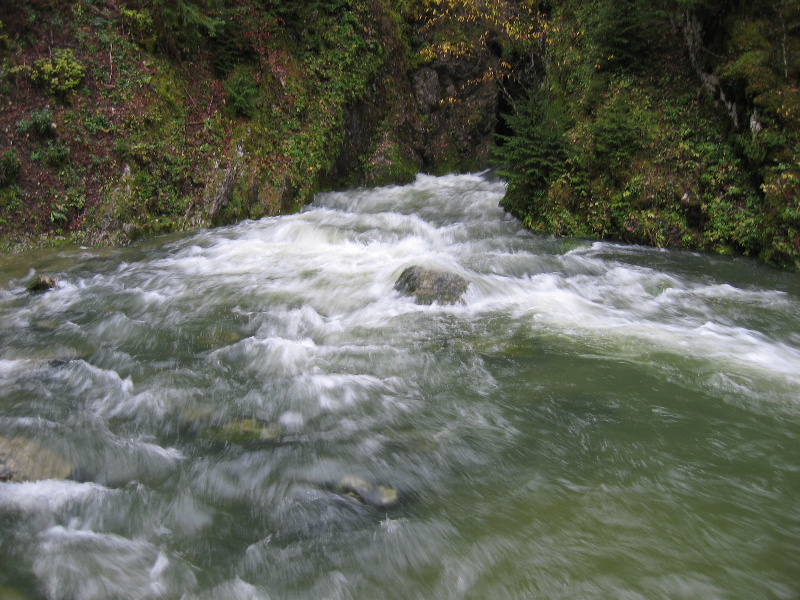
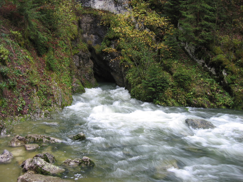
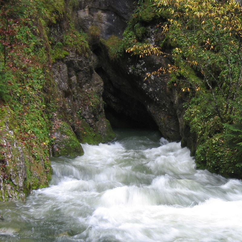
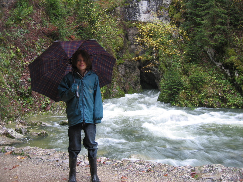
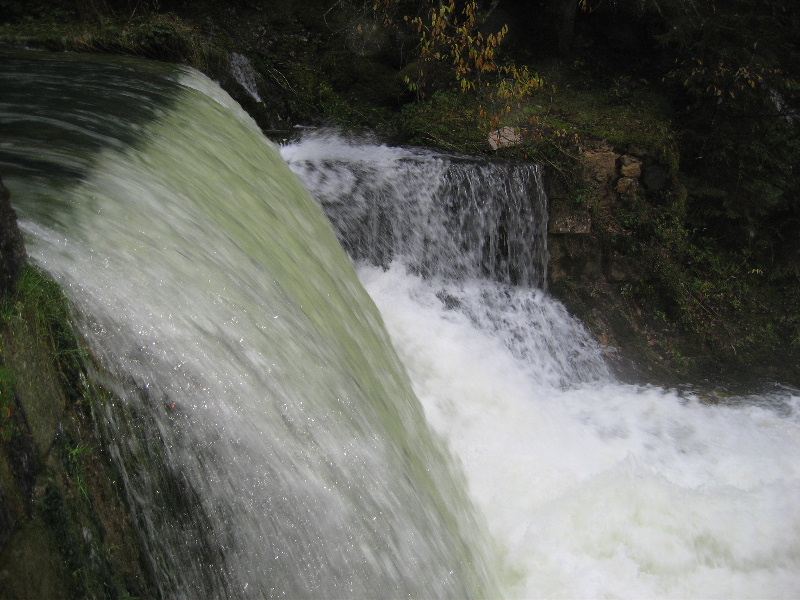
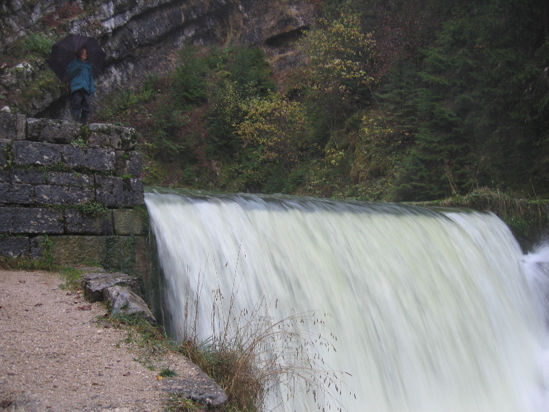
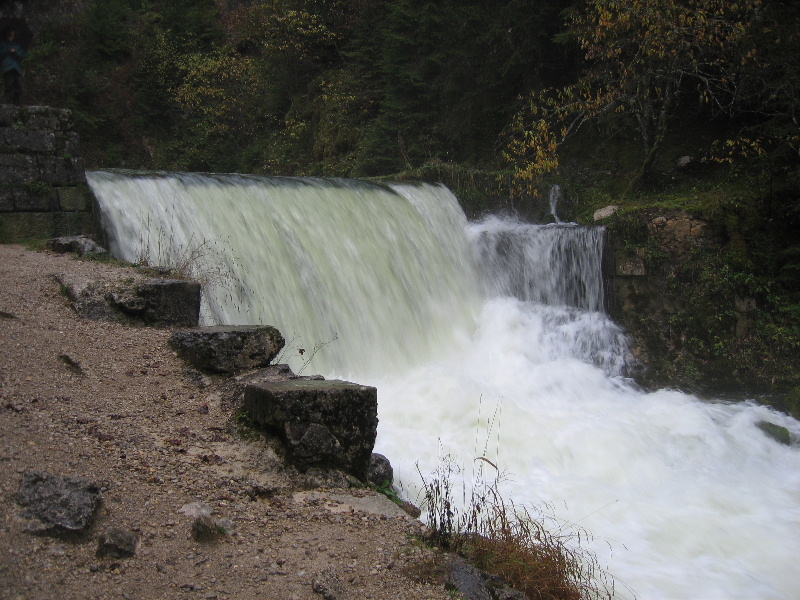
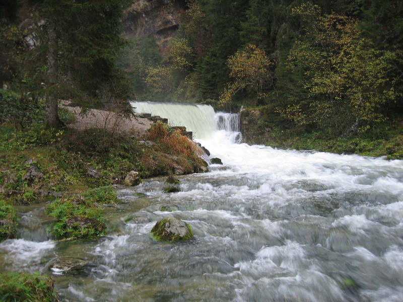
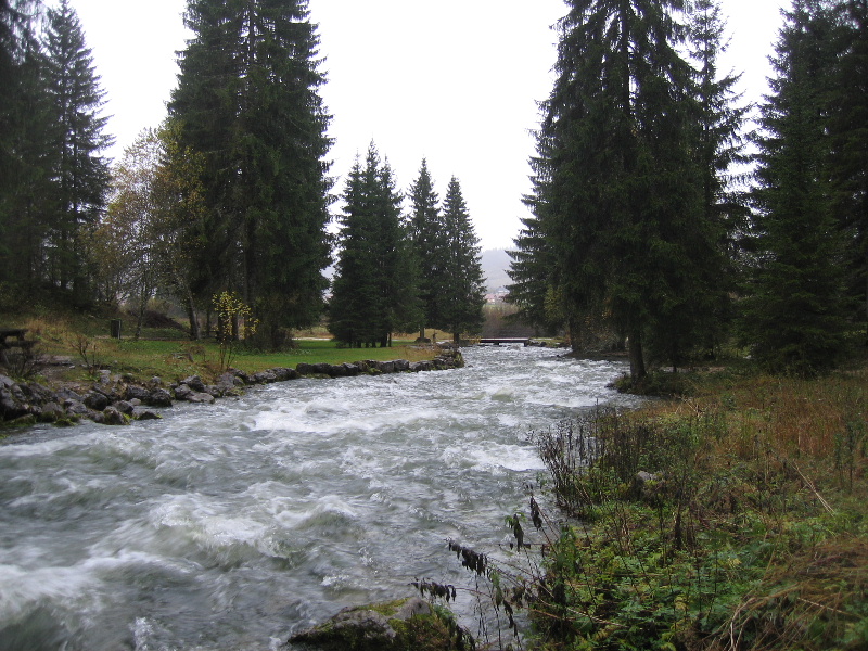
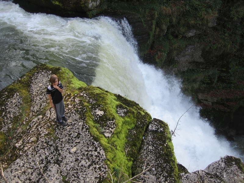
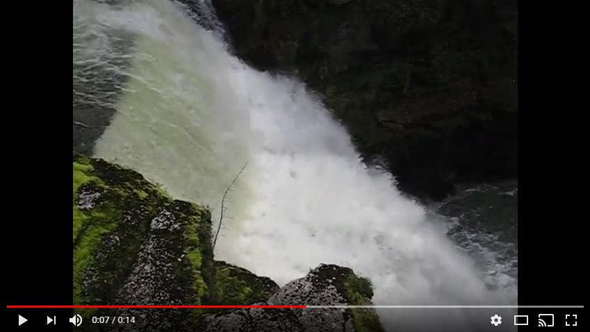
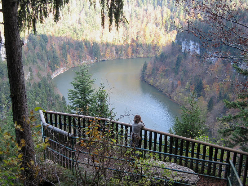
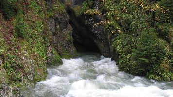
| Source du Doubs | |||
| Station / village | Mouthe |
 |
|
| Parking | |||
| Carte interactive | https://opentopomap.org | ||
| Position | 46.70496 6.209153 | ||
| Inventaire | |||
| Dénivellation | |||
| Développement | |||
| Cotation | Visitable par tous | ||
| wikipedia | Flyer | www.rdbrmc.com | |
| Source visitée le mercredi 22 octobre 2008, durant une période de crue. | |||